
Over the past few years, the remote sensing industry has grown significantly, and with it, the number of image providers, types of data available, and of course—data volume.
Various types of remote sensing data are acquired daily through satellites, airplanes and drones. Common types of remote sensing data include optical (multispectral and hyperspectral), synthetic aperture radar (SAR), thermal infrared, radiometric, LiDAR, digital elevation models, and others.
While this availability is a boon to those who need this data, most users have probably faced a few data management challenges along the way. Data standardization— or the lack of it — is often cited as a major barrier to the widespread adoption of geospatial data.
How do we address the challenges of data standardization and unlock the full potential of geospatial data across diverse platforms and applications? Here is how data standardization can help in this regard.
One challenge that users of geospatial data often face is working with different data structures and delivery formats (e.g., DIMAP, GeoTIFF, SAFE, SHP, NITF, NetCDF, and GeoJSON, to name just a few of the formats). Each format usually has its own metadata structure and encoding standard and often needs to be adapted before the data can be further processed, visualized and integrated.
This is where adopting a standard, cloud-native asset format can play an important role. A standard format enables interoperability and the seamless integration and sharing of data across platforms by eliminating the need for complex data transformation.
GeoTIFFs, as an example. A GeoTIFF is a format for storing raster graphic images with additional spatial information, such as map projection, coordinates, and dates.
A cloud optimized GeoTIFF (COG) is a regular GeoTIFF file hosted on an HTTP server, enabling fully cloud-based, geospatial workflows. COG enables streaming of raster data, so clients using HTTP range requests can use only the part of the file they need for their work. The format has been optimized for efficient storage, access and processing in the cloud.
COG is well-adopted and supported by the geospatial industry, including QGIS (a free and open source geographic information system), ArcGIS, Rasterio, GDAL, and others.
COGs store geospatial data in an optimized way, allowing tiling, rendering, and processing of partial data sets to enhance retrieval of data, making them an excellent option for managing large, geospatial datasets. They also reduce processing time significantly by enabling on-demand analytics processing and visualization.
COGs reduce data duplication as data can be streamed instead of copied for download purposes. Furthermore, well-known metadata formats are supported and can be easily consumed using HTTP range requests, enabling mapping to spatial indexes that allow partial access to larger raster files.
What does this mean in practice? If a company is already transforming data from different geospatial providers into a standard format, such as COGs, there is no need to understand different formats, delivery folder structures or naming conventions. Users can, instead, focus on the visualization and integration of the data for their downstream use cases.
SpatioTemporal Asset Catalog (STAC) is another initiative introduced to help users find and use geospatial assets from different providers.
STAC is a specification designed to establish a standard in exposing geospatial data and simplify data management for providers, developers and users. This specification allows for searching across multiple providers for geospatial assets that share a common structure and set of metadata.
STAC might seem like another data standard at first; however, it is not. First introduced in 2021, STAC has improved and significantly grown in popularity. Many of the biggest providers of remote sensing and spatiotemporal data, such as Planet, Capella Space, Umbra, Maxar, Microsoft, U European Space Agency (ESA) use the STAC specification.
STAC has a well-designed, standard format: this standard is user-centric, as well as searchable, crawlable as well as indexable. STAC is organized in a structure of catalogs, sub catalogs, collections, and items. A STAC catalog provides a flexible structure that links STAC items together so the data can be crawled or browsed by users.
A STAC collection provides additional information about a spatiotemporal collection of data, such as licenses, keywords, providers, and more, and can be easily extended for additional collection-level metadata. A STAC item is a GeoJSON feature that represents a collection of inseparable data and metadata.
In essence, STAC allows users to easily search for, acquire and analyze geospatial data from multiple providers and sources. This is extremely important as the lack of standardization often leads to low availability of plug-and-play integrations. STAC enables a strong foundation for exploring data from different providers, as well as for building a robust backend, downstream integrations, web portals, visualization, and more.
A practical example... a project requires data integration from satellite, aerial, and drone imagery. Each dataset comes in its own, unique format, with a different metadata structure. In addition, large datasets usually mean extended download times and high bandwidth usage. That leads to challenges with data discoverability, access, and analysis.
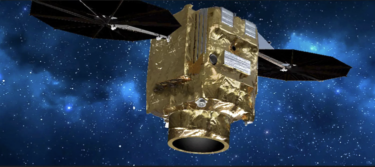
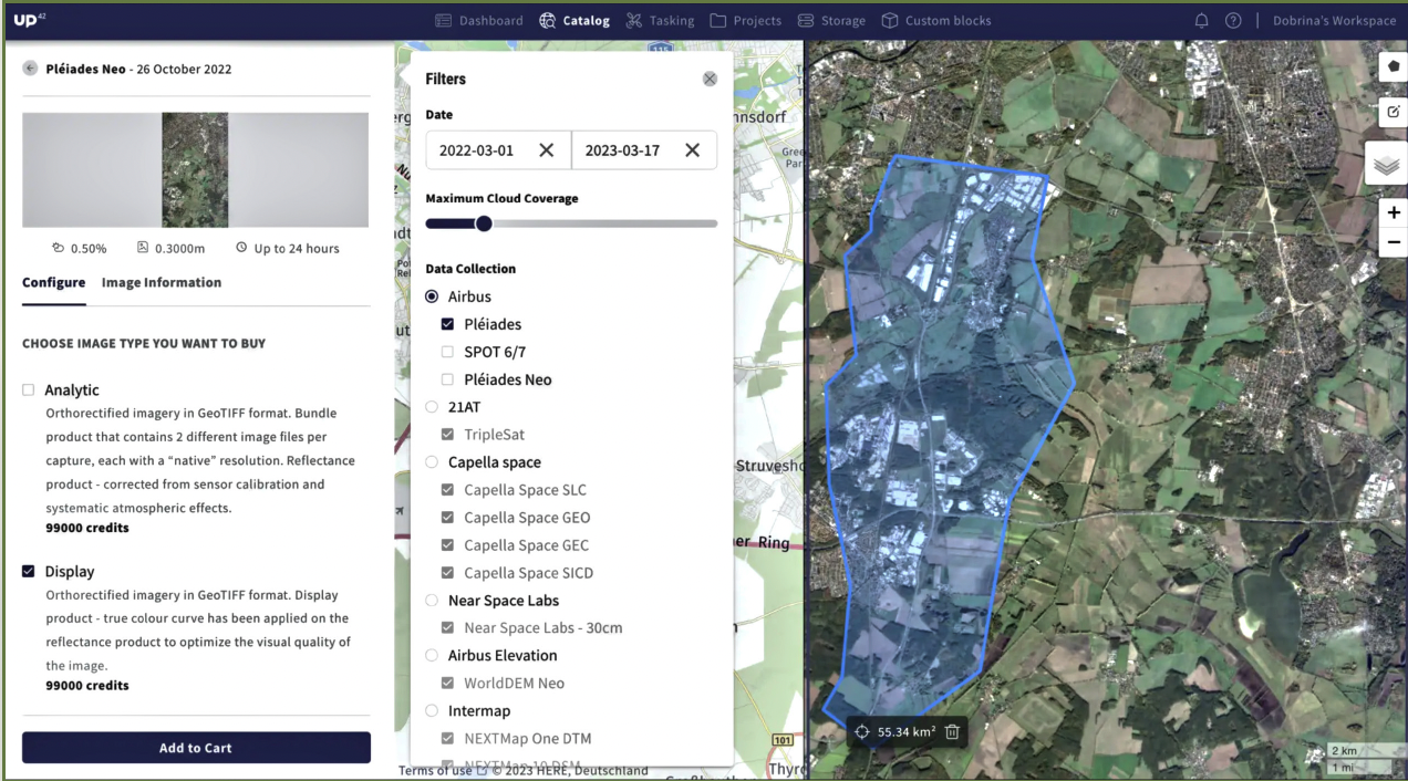
Airbus Pléides Neo
With STAC, metadata is standardized and easily searchable based on location, time, and other parameters. At the same time, COGs improve data access as the format allows for accessing only the part of the image needed, reducing download times and bandwidth usage.
Most importantly, standardized formats allow users to easily combine imagery from satellites, airplanes, and drones without worry about compatibility and data transformation.
Applying this example to vegetation management and precision agriculture reveals that STAC catalogs can help organize different imagery that is related to vegetation cover and health, whereas using COGs improves access and analysis.
The data can be used to assess changes in vegetation cover, such as deforestation or encroachment of critical infrastructure, to identify areas where further inspection or immediate intervention is required. STAC can help facilitate the discovery of high resolution imagery that can allow the monitoring of crop health, disease detection, and optimization of fertilization and irrigation.
Regardless of industry or use case, STAC catalogs can help streamline remote sensing data integration into a project.
Standards such as STAC and cloud-native imagery formats can offer numerous benefits and enable more efficient and centralized geospatial data management and that enables users to unlock the full potential of geospatial data, creating and embedding Earth Observation insights into their applications.
up42.com
UP42 UPDATE
Improved tasking flow, advanced processing capabilities, new collections in the catalog, + more...
Author: John Pelle, Head of Product, UP42
We’re constantly shipping new updates that make ordering, managing, and processing geospatial data easier. From significant enhancements to subtle tweaks, here’s a recap of the latest features that have gone live on our platform.
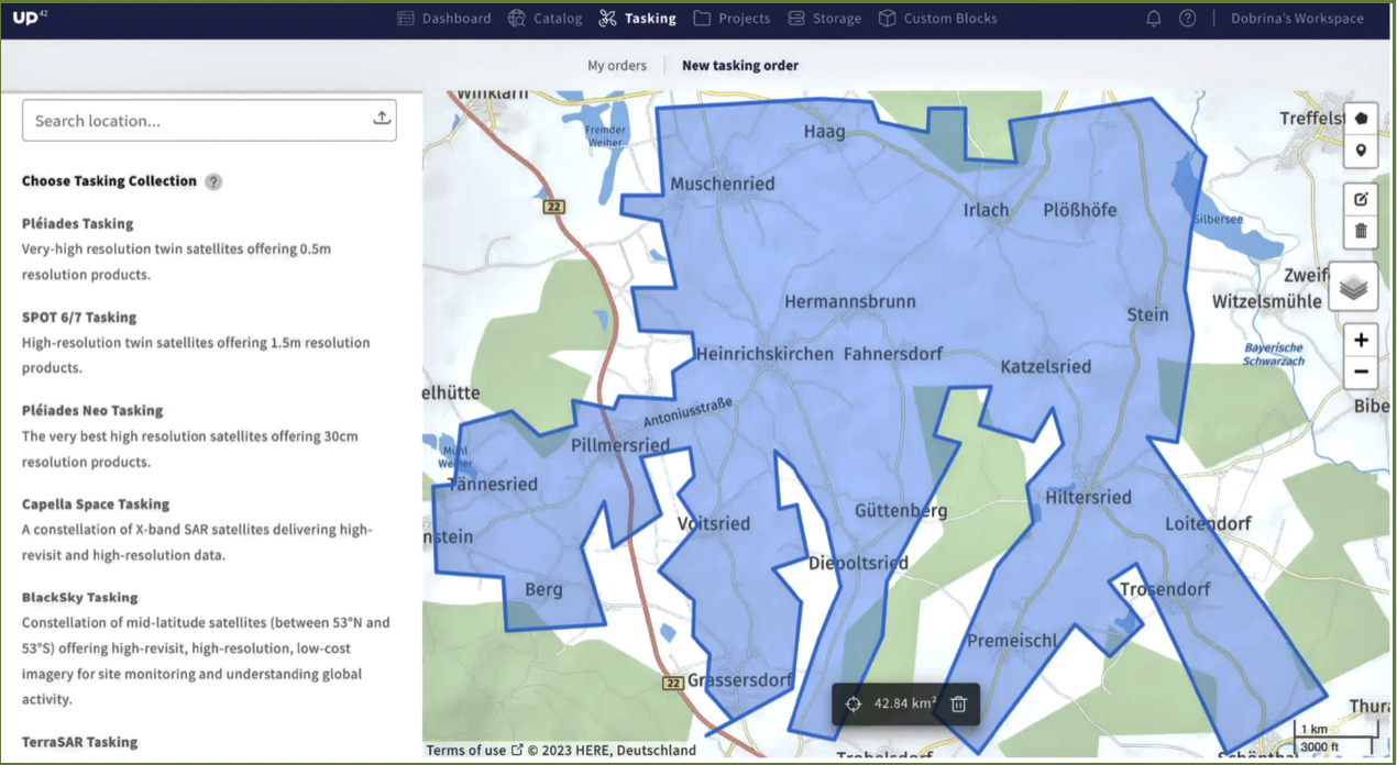
Revamped tasking flow with enhanced order status and delivery tracking.
We released a new tasking flow last year that significantly improved the way our customers task satellites. Since then, we’ve continued to refine our tasking offering, enabling you to track tasking orders better.
When a user clicks on a tasking order, you could previously view the footprint of acquired scenes. Now you obtain a visual representation of the percentage of the already completed order and the option to download the remaining and covered AOI as KML files. This allows for better and faster internal decision-making while dealing with complex orders.
In addition to viewing the list of available collections and pricing upfront, you can filter this list by Data type and Resolution. Expect more filters with specific collection information, such as geometric and radiometric processing levels and stereo capabilities.
Processing on the UP42 platform is now easier and more scalable — we leverage STAC to improve validation, give you compatibility and price estimates early in the process, and let you process as many STAC items as you want. Go ahead and enhance your data with Upsampling from Nara Space, an algorithm that improves the spatial resolution of Pléiades Neo imagery from 30 cm to 10 cm. Or Pansharpening from Pixel Factory by Airbus, a fusion algorithm that upsamples the image to the resolution of the panchromatic band. Or obtain
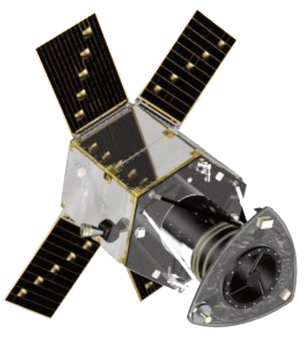
GeoSAT
Airbus Pléides Neo data with algorithms such as Building and Shadow detection, Tree detection from Spacept, and many more.
How? If you’re a insights from your console user, go to data management, and in the map section, select the STAC items you want to process. Track the status in the Jobs table. Alternatively, create a new processing job using the UP42 API.
Save time and effort when managing your geometries in the catalog—store AOIs in your library, modify names or coordinates, and delete or generate new AOIs using existing ones.
We also continue to enrich our platform with more diverse collections. Hexagon Elevation DSM (30 cm), as well as EROS-B (50 cm) and EROS-C (30 cm) optical satellite archive data from ISI, are now available on the platform. Place your order through the console or via our API.
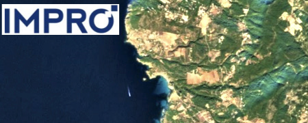
Our sample data library is growing, as well: now with the additions from IMPRO (50 cm optical satellite imagery with mono, stereo, and tri-stereo capabilities), GEOSAT 1, and GEOSAT 2 (20 m and 40 cm optical satellite imagery, respectively).
There’s also a new notification subscription feature. When you work on tasking orderswith multiple stakeholders, they must be able to receive and respond to order updates (such as feasibility or price quotes). Toggle on notifications for specific workspaces that matter to you, and receive timely email alerts for relevant updates. Check out the specific documentation to learn more.
Improved visualizations are available... In your data management component, you can view, search, and filter all your STAC items on a map. We have also launched GeoSAT a new tiler service, making it easier to visualize and verify STAC assets—try it out with any band or delivery.
Last but not least, stay informed about the latest updates and improvements to our API and SDK, easily accessible through our documentation.
up42.com