
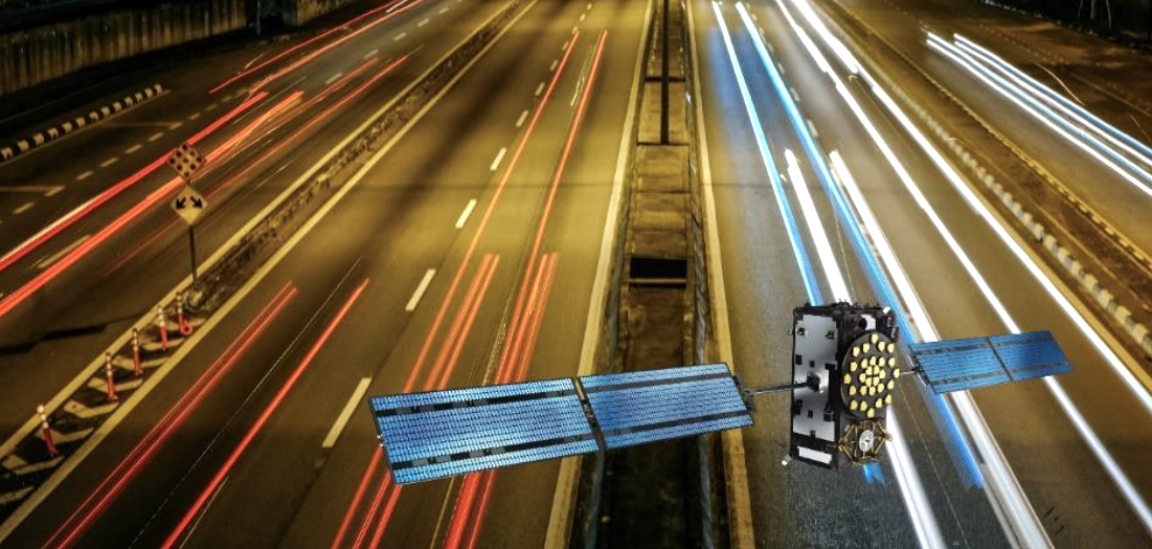
The European Safety Critical Applications Positioning Engine (ESCAPE) project, funded by the European GNSS Agency (GSA) under its Fundamental Elements research and development program, ended in December of 2019 having successfully prototyped and tested its ESCAPE GNSS Engine, or EGE. This innovative positioning engine, which leverages signals and services from the European satellite navigation program Galileo, provides a core positioning component in autonomous vehicles and takes us one step closer to fully automated driving.
The EGE was successfully tested in November of 2019 at a live demonstration held at the University of Technology of Compiègne, France. At the event, cars equipped with the EGE were showcased in two demonstrations. During the first demo, in a Renault ZOE electric car, participants and journalists had the opportunity to get on board the vehicle and take a driverless ride on the University of Technology of Compiègne (UTC) track.
In the second demo, a second highly automated vehicle was driven on a public road in Compiègne to demonstrate the potential of the system in a peri-urban environment. There were no passengers in this car beyond a safety driver, but the participants were able to watch a live video of the test broadcast via 4G with the estimated position obtained using the EGE.

Carlo des Dorides
Speaking at that time, former GSA Executive Director Carlo des Dorides stressed the fact that GNSS was a key enabling technology towards fully Connected and Automated Driving. “What we are witnessing today with the demonstration of the ESCAPE GNSS engine, which leverages Galileo’s multi-frequency and multi-constellation capability, is actually a glimpse of what ‘driving’ will look like in the near future, and is a key milestone bringing us ever closer to full automation,” he said.
How Does It Work?
The EGE prototype design includes several major components, including a novel multi-frequency, multi-constellation GNSS receiver chipset for automotive use; hardware and software architectures; and algorithms for data fusion, positioning and integrity. These EGE components are organized in modules with a main board hosting the GNSS sensors, and a core module that implements system functions.
The EGE hardware architecture was developed based the most recent practices in the design of automotive electronic control units, so that all the interfaces, configurations and form factors are compliant with widely recognized trends in the sector. The receiver, too, is cutting-edge and is the first device in its segment ready to support the new Open Service Navigation Message Authentication (OS-NMA) capability, soon to be offered by Galileo on its first frequency (E1-B) to all users, for free and worldwide. The EGE leverages the Galileo dual-frequency signals hybridized with other on-board sensors and a map-camera matching algorithm to provide a core positioning component in the autonomous vehicle. The system also uses an extremely sophisticated algorithm to provide high-performing PVT combined with integrity, which is essential for safe autonomous driving.

In addition, the GNSS receiver comes with several core signal processing enhancements, such as better sensitivity and tracking capability, and multipath mitigation. Finally, the solution is rendered more robust thanks to jamming detection and mitigation and optimization of the GNSS processing. The result is an ESCAPE GNSS sensor that combines a high-end GNSS technology traditionally reserved for professional applications with innovative dual-band Galileo processing and all the hardware and software safety aspects that are needed to certify the component for the automotive market.
A Multi-System Solution
The ESCAPE positioning engine also leverages connectivity, which for the time being involves using the 4G network. In the future, this will be replaced with 5G. This connectivity is needed to receive information to augment the GNSS function, such as corrections to improve accuracy. Future evolutions of the system might also allow for vehicle to vehicle communication. This would enable vehicles to exchange information to improve safety through cooperative positioning, and possibly for other uses such as real-time updating of maps, broadcasting of traffic data, and so on.
Within the multi-system solution, the measurements produced by the GNSS sensor are tightly integrated with those from an inertial unit (IMU) to provide a baseline standard point positioning function. A second positioning level is provided by precise point positioning (PPP), which gets sets of precise corrections from the Internet, and which — in the future- might be enabled by the Galileo High Accuracy Service (HAS), that will be available for free to all users. Finally, the use of camera-maps matching techniques enabled by highly accurate maps offers a third level of positioning, which makes the system compatible with the extremely demanding performance targets necessary for vehicle automation.
In summary, the key technological elements of the ESCAPE engine are its automotive-grade dual-frequency GNSS receiver, an IMU, a video camera, High Definition maps, and a remote connection to a server providing data from a real-time PPP service.
Safety is the No. 1 Priority
No single technology is sufficient to meet the demanding needs of autonomous driving in terms of the accuracy and reliability of the positioning information. This is true for GNSS also, which is why ESCAPE adopted the concept of sensor fusion when developing its engine. By combining several sensors, these are able to complement each other and make the final solution more accurate, robust and reliable. The design is based on ISO 26262 “Road vehicles—Functional safety,” an international standard for safety of electrical and electronic systems in automobiles.
The EGE core sensor is the GNSS receiver, which provides accurate position, velocity and time all around the globe. The receiver features dual-band capability for several satellite constellations (GPS, Galileo, GLONASS, BeiDou, QZSS, and IRNSS). It is integrated with inertial sensors that, by sensing the vehicle’s acceleration and implementing a dead reckoning function, make it possible to bridge short GNSS outages (e.g., when in tunnels or under bridges). There is also matching between the on-board camera and very accurate maps, which makes it possible to locate the vehicle with respect to road elements, such as lane markings. This obviously requires very accurate maps (cm-level), otherwise the quality of the information would not be sufficient.
However, accuracy is not enough to meet the stringent safety requirements. This is why the EGE uses a Kalman Integrated Protection Level (KIPL) algorithm that provides each position estimate along with a protection level, that is a measure of the uncertainty associated with the given estimate. For the vehicle to navigate safely, the protection level can dynamically determine whether the positioning information can be safely used to enable different autonomous driving capabilities.
Finally, the ESCAPE positioning algorithm continuously performs consistency checks in the background to monitor the reliability of the solution and therefore enable its safe application.
Galileo’s Added Value
All technologies come with their pros and cons. GNSS is the only technology that can provide worldwide, absolute positioning. However, GNSS is subject to signal outages if a vehicle drives into a tunnel or a garage, for example. Meanwhile, inertial sensors provide a position with respect to a previous position, but are subject to error drift. The inertial sensors are sufficient to cover short-term GNSS outages but cannot maintain performance over time. Camera-maps matching provides position based on very accurate maps, but this is subject to the availability of accurate, up-to-date maps and problems arise when road markings are not visible due to specific circumstances, such as snow or roadworks, for example. LIDAR, which calculates distance to a target by illuminating the target with laser light and measuring the reflected light with a sensor, provides a position with respect to surrounding objects. However, this technology is extremely expensive and only provides a relative position. Given these shortcomings, and having in mind the marketability of the product, the ultimate solution is combining all of these complementary technologies together. The higher the GNSS contribution, the lower is the need for other sophisticated vision sensors. As a result, GNSS, and in particular Galileo, is a key element in keeping this technology affordable and compatible with market constraints.
Galileo is a key enabler of the EGE. Galileo signals offer enhanced precision, high availability and maximum reliability. The main distinguishing feature of the ESCAPE automotive-grade GNSS receiver is its ability to simultaneously process signals from two different GNSS bands and from different satellite constellations. Although this capability is common in high-end professional receivers, it is cutting-edge in the automotive Tier-2 panorama.
What's Next?
Following the successful public tests of the ESCAPE EGE in November, the engine components are close to market release, with safety as its core specification. Some software components developed for the ESCAPE EGE will be indeed integrated in a new level 4 car model to be commercialized by a leading European car manufacturer in 2021-2022.
More generally, in terms of the long-term evolution of GNSS technology, the current location technologies for automotive solutions at level 5 of automation still need to develop alongside three key dimensions of change: ubiquitous positioning, ambient intelligence and security. More powerful GNSS signals, advanced augmentation techniques and new innovations introduced by Galileo will help to overcome these challenges. The accuracy requirement will remain at decimeter/centimeter-level; but enhancements in the area of machine learning and artificial intelligence will be necessary, to cope with any potential real-life scenario.
GNSS standards under development anticipate the need for certification frameworks for safety-critical applications, such as autonomous driving, cooperative ITS or the location of vulnerable pedestrians. In the long-term, the localization system of an autonomous vehicle will most likely be assessed against common performance requirements following a type approval process. The UNECE World Forum for Harmonization of Automotive Regulations has already started taking steps in this direction, beginning with cyber-security threats related to automotive functions, including navigation messages. In that respect the Galileo contribution is obvious, as it will pave the way for a more robust GNSS technology via the launch of the OS-NMA capability.
All in all, the future looks bright for the EGE. ESCAPE embodies Europe’s spirit of innovation. Funded by the European GNSS Agency, the research was led by Spanish Tier-1 company FICOSA in collaboration with partners from across Europe. The engine developed by the project leverages Europe’s investment in space to deliver a solution that keeps Europe at the cutting edge of what will be the future of road transport - automated driving.
Additional information at: www.gsa.europa.eu/newsroom/european-space-expo/first-demonstration-galileo-enabled-autonomous-vehicle

Flavio Sbardellati is Market Development Technology Officer at the European GNSS Agency (GSA), acting as Head of governmental market and contributing to the overall R&D strategy definition and execution in the Agency. Before joining the GSA, he worked in the private sector for 10 years in both Aerospace and Information Technology industries, gaining extensive experience in project management and system engineering of spaced-based navigation technologies. Mr. Sbardellati received his master degree with honors in Telecommunications Engineering from the University La Sapienza of Rome, Italy.